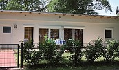
Address
Bahnhof Bernau bei Berlin
Breitscheidstraße
16321 Bernau bei Berlin
Breitscheidstraße
16321 Bernau bei Berlin
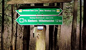
Bahnhof Joachimsthal
Bahnhofstraße
16247 Joachimsthal
Bahnhofstraße
16247 Joachimsthal
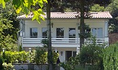
WITO Wirtschafts- und Tourismusentwicklungsgesellschaft mbH
Alfred-Nobel-Straße 1
16225 Eberswalde
Alfred-Nobel-Straße 1
16225 Eberswalde