Address
Rondeler Weg
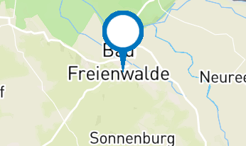
16269 Wriezen
16269 Wriezen
Rondeler Weg
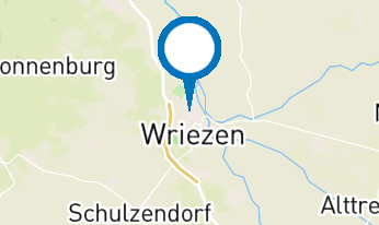
16269 Wriezen
16269 Wriezen
Seenland Oder-Spree e.V.
Ulmenstraße 15
15526 Bad Saarow
Ulmenstraße 15
15526 Bad Saarow